


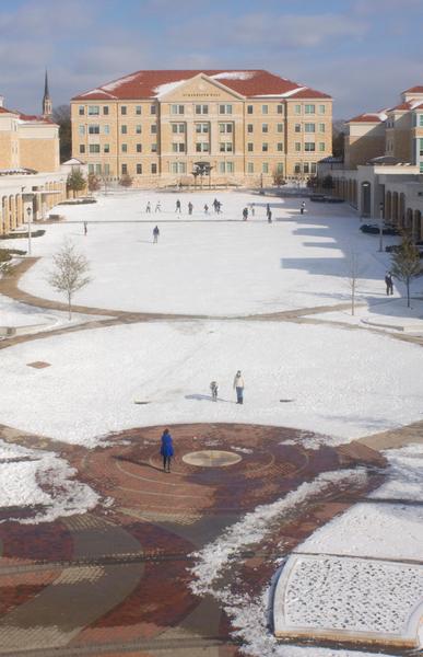
More winter weather is in the forecast for the Dallas/Fort Worth area this week. After almost a week of snow and ice on the ground in North Texas, ice accumulation is expected once again this Wednesday.
According to meteorologist Amber Elliott with the National Weather Service in Fort Worth, precipitation should start late Tuesday evening and start to freeze when the cold air rolls in around midnight Tuesday.
Throughout the night and into Wednesday morning, the rain will turn into freezing rain, possible sleet and into snow by early Wednesday morning. Wednesday’s high should be about 26 degrees with a low of about 13 degrees.
Elliott said she expected to see an accumulation of about one-tenth of an inch of ice Wednesday morning. The storm will not bring the same severe conditions that last week’s storm brought because it is a fast-moving system, Elliott said.
“We shouldn’t see hours on end of precipitation,” Elliott said. “By early to mid-afternoon we should see the snow start to taper off.”
Elliott said that unlike last week’s storm, Wednesday morning will see the freezing rain turn into snow very quickly, which won’t allow for as much ice accumulation.
Fort Worth residents can expect travel plans to be affected on Wednesday and possibly Thursday morning because of any precipitation that refreezes Wednesday night, Elliott said. Because of the fast-moving nature of the storm, the ice will not be on the ground for long.
Temperatures will be back above freezing by Thursday afternoon and will be back into the 50s by the weekend.

